
Ta'ãnga:United Kingdom Northern Ireland adm location map.svg

Marandurenda moambue'ỹre (archivo SVG, nominalmente 1208 × 1026 píxeles, tamaño de archivo: 163 kB)
Resumen
| Mombe'uanga |
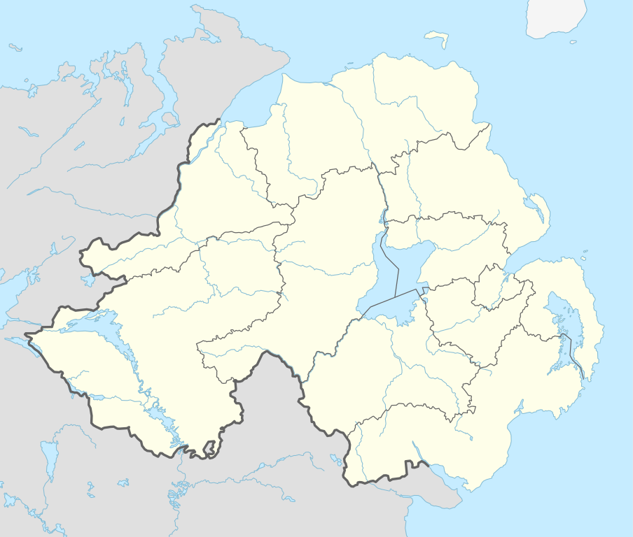
Deutsch: Positionskarte von Nordirland, Vereinigtes Königreich
English: Location map of Northern Ireland, United Kingdom
|
||||||||||||
| Arange | |||||||||||||
| Moõgui oguenohẽ |
Trabajo propio utilizando:
|
||||||||||||
| Apohára | NordNordWest | ||||||||||||

|
Este mapa se ha hecho o mejorado en el Kartenwerkstatt (taller cartográfico) alemán. También puede proponer mapas para mejorar.
|
Licencia
Usage of this file with:

explanatory notes: Legally binding is only the full legalcode. For a free usage I recommend to respect the following licence conditions:
1. Provide my name as given above: NordNordWest,
2. a copy of, or the URI for, the applicable license: https://creativecommons.org/licenses/by-sa/3.0/de/legalcode,
3. the title of the work,
4. in the case of an adaptation, a credit identifying the use of the work in the adaptation.
This license and the rights granted hereunder will terminate automatically upon any breach by you of the terms of this license. Any of the above conditions can be waived if you get permission from the copyright holder. If you have questions or wish differing conditions, please contact me through nnwest or my discussion page ![]() t-online.de
t-online.de
- Nde reime sãsóme:
- de compartir – de copiar, distribuir y transmitir el trabajo
- de remezclar – de adaptar el trabajo
- Bajo las siguientes condiciones:
- atribución – Debes otorgar el crédito correspondiente, proporcionar un enlace a la licencia e indicar si realizaste algún cambio. Puedes hacerlo de cualquier manera razonable pero no de manera que sugiera que el licenciante te respalda a ti o al uso que hagas del trabajo.
- compartir igual – En caso de mezclar, transformar o modificar este trabajo, deberás distribuir el trabajo resultante bajo la misma licencia o una compatible como el original.

Marandurenda rembiasakue
Ejopy peteĩ ára/aravo rehe rehecha hag̃ua pe marandurenda ojehechaukaháicha upe jave.
| Ára/Aravo | Michĩháicha | Tuichakue | Puruhára | Jehaimombyky | |
|---|---|---|---|---|---|
| ko’ag̃agua | 09:06 7 jasypa 2015 | | 1208 × 1026 (163 kB) | NordNordWest | c |
| 12:24 6 jasypa 2015 |  | 1208 × 1026 (162 kB) | NordNordWest | final version | |
| 10:37 6 jasypa 2015 |  | 1208 × 1026 (113 kB) | NordNordWest | == {{int:filedesc}} == {{Information |Description= {{de|1=Positionskarte von Nordirland, Vereinigtes Königreich}} {{en|1=Location map of Northern Ireland, United Kingdom}} {{Location map series N |stretching=170 |top=55.4 |bottom=53.9 |left=-8.3 |righ... |
Marandurenda jeporu
No hay páginas que enlacen a este archivo.
Marandurenda jepuru opaite tembiapópe
Ko'ã ambue wiki oipuru ko marandurenda:
- Jeporu af.wikipedia.org rehe
- Jeporu bh.wikipedia.org rehe
- Jeporu bn.wikipedia.org rehe
- Jeporu br.wikipedia.org rehe
- Jeporu ca.wikipedia.org rehe
- Jeporu de.wikipedia.org rehe
Ver más uso global de este archivo.